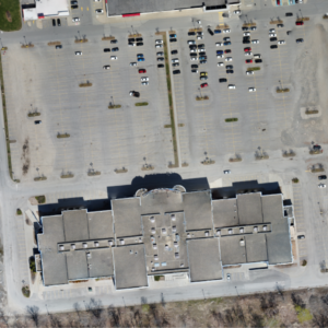
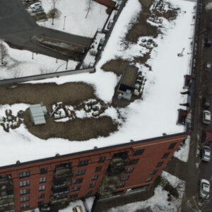
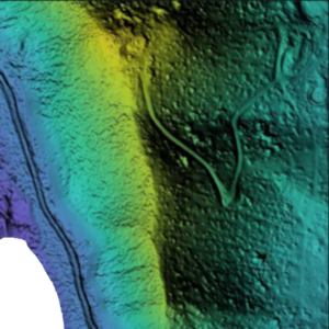
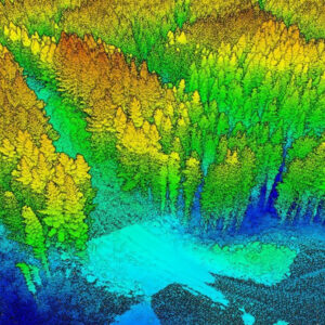
Where we bring a unique perspective to aerial imagery. With training and experience in drone piloting, aerial imagery, geographical analysis, environmental assessment, engineering projects, and construction giving us the ability to offer top-notch drone solutions for a variety of applications.
Be it high-quality images for surveying & mapping, regular updates for construction monitoring, building inspections, snow removal or landscaping, or real-time data for emergency response, we’ve got you covered. Our expertise in data collection and analysis enables us to provide custom solutions that meet your specific needs. Explore our website and learn more about how our drone services can help you elevate your business.


Send us a message!
Don’t hesitate to reach out with the contact information below, or send a message using the form