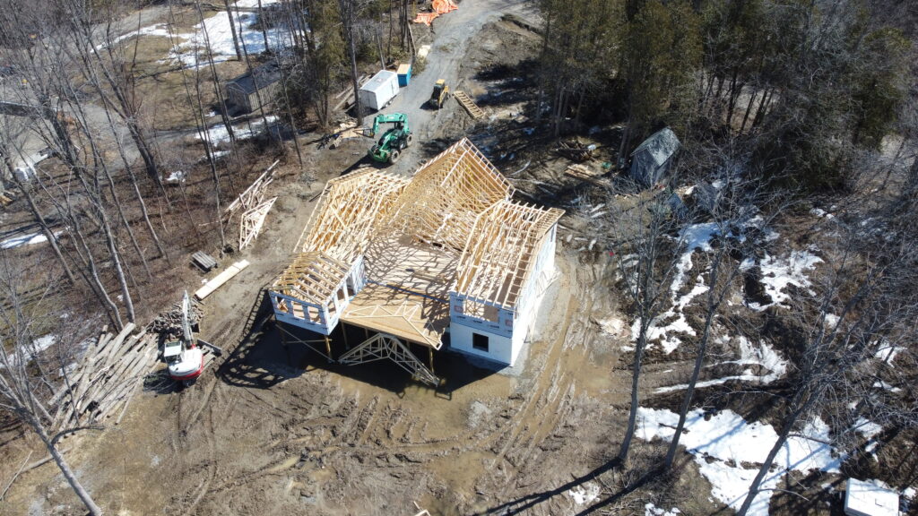
Aerial drone mapping is revolutionizing the construction industry by providing accurate and detailed information that was previously difficult or impossible to obtain. At Geodrone, we specialize in using drones for construction mapping and can help you streamline your construction projects. We can quickly and easily capture high-resolution images and data, creating 2D maps and 3D and models of your construction site. This information can be used for a variety of applications, including site analysis, design, planning, and monitoring.
By using drone mapping in your construction projects, you can save time and money by reducing the need for on-site visits and improving communication among team members. Our team can work with you to create a customized solution that meets your specific needs, ensuring that your project runs smoothly from start to finish.
Send us a message!
Don’t hesitate to reach out with the contact information below, or send a message using the form