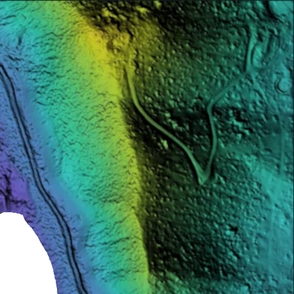
Drone-generated elevation models and volumetric analysis offer a new level of accuracy and efficiency for surveying and project management. By capturing high-resolution data from above, drones create detailed Digital Elevation Models (DEMs) that reveal terrain features, surface variations, and elevation changes with remarkable precision. This is especially valuable for construction, mining, and land development projects.
In addition, drones can perform volumetric analysis to calculate the volume of stockpiles, excavation sites, and earthworks. This allows for accurate measurement of materials, improving inventory management, cost estimation, and project planning. With the ability to quickly gather and process data, drone elevation models and volumetric analysis streamline workflows and deliver insights that help reduce errors and enhance decision-making.
Send us a message!
Don’t hesitate to reach out with the contact information below, or send a message using the form