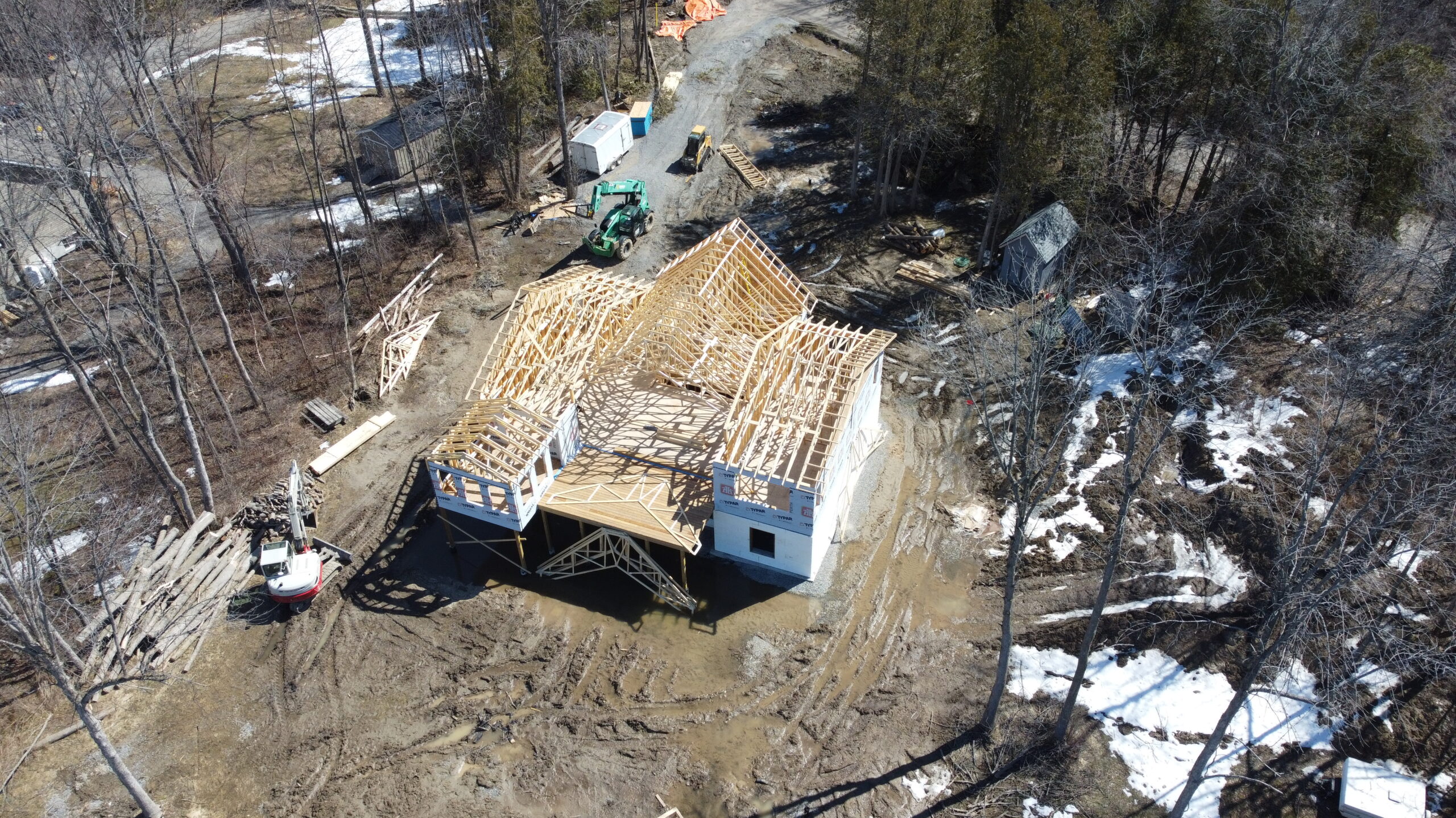
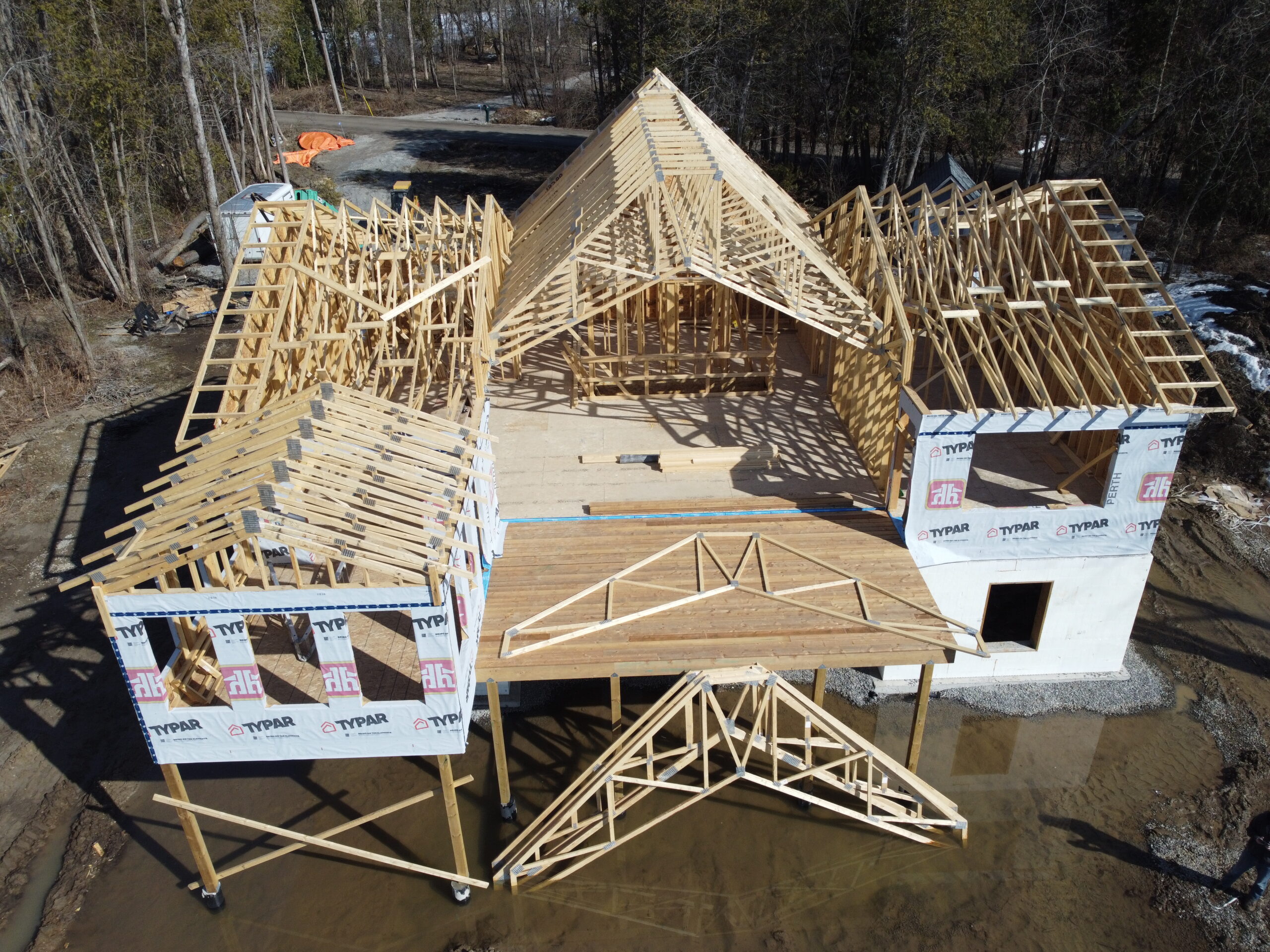

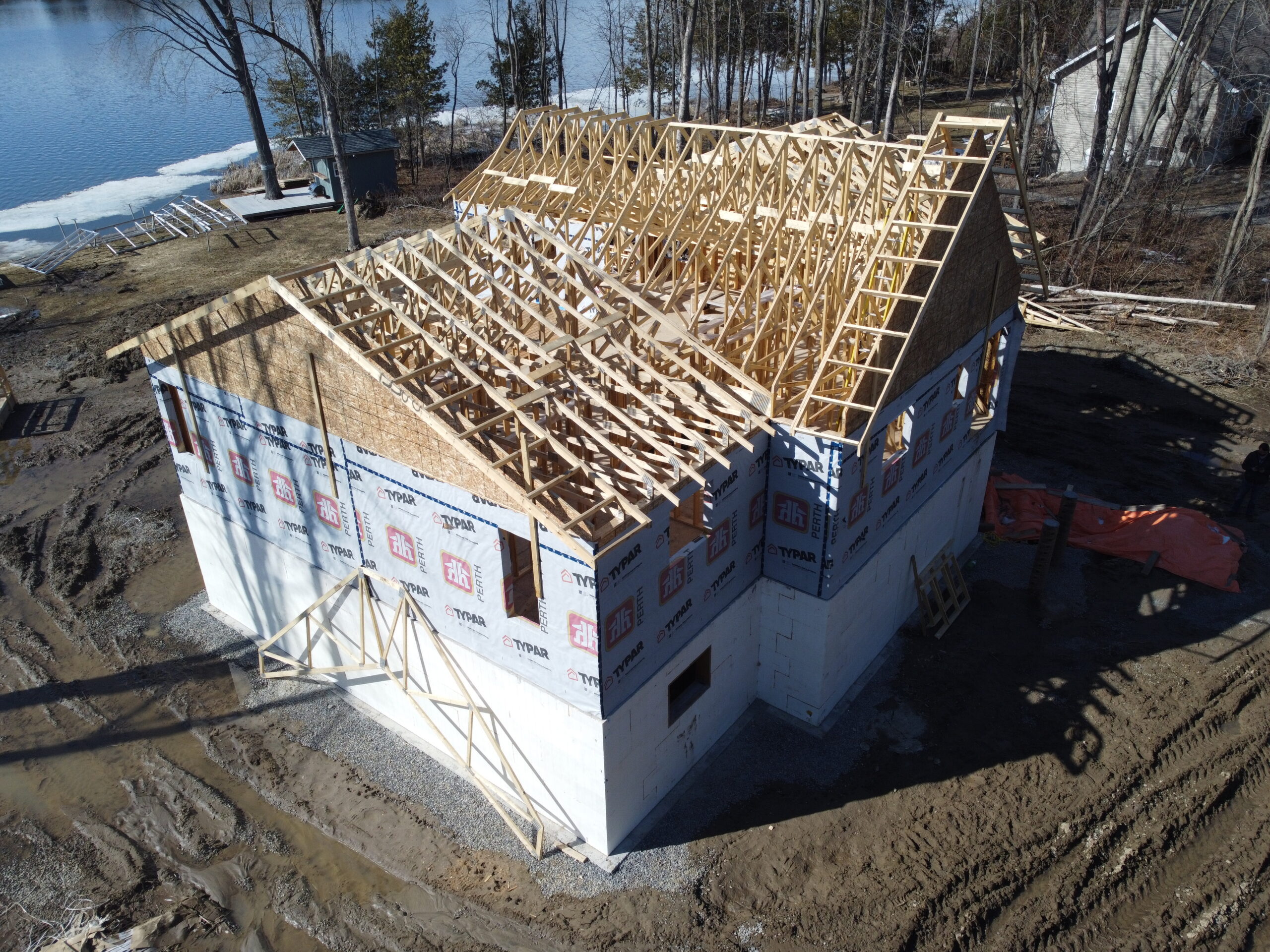
With the exterior construction being almost complet, much has changed since the last flight.
Most Recent Visit
Map View
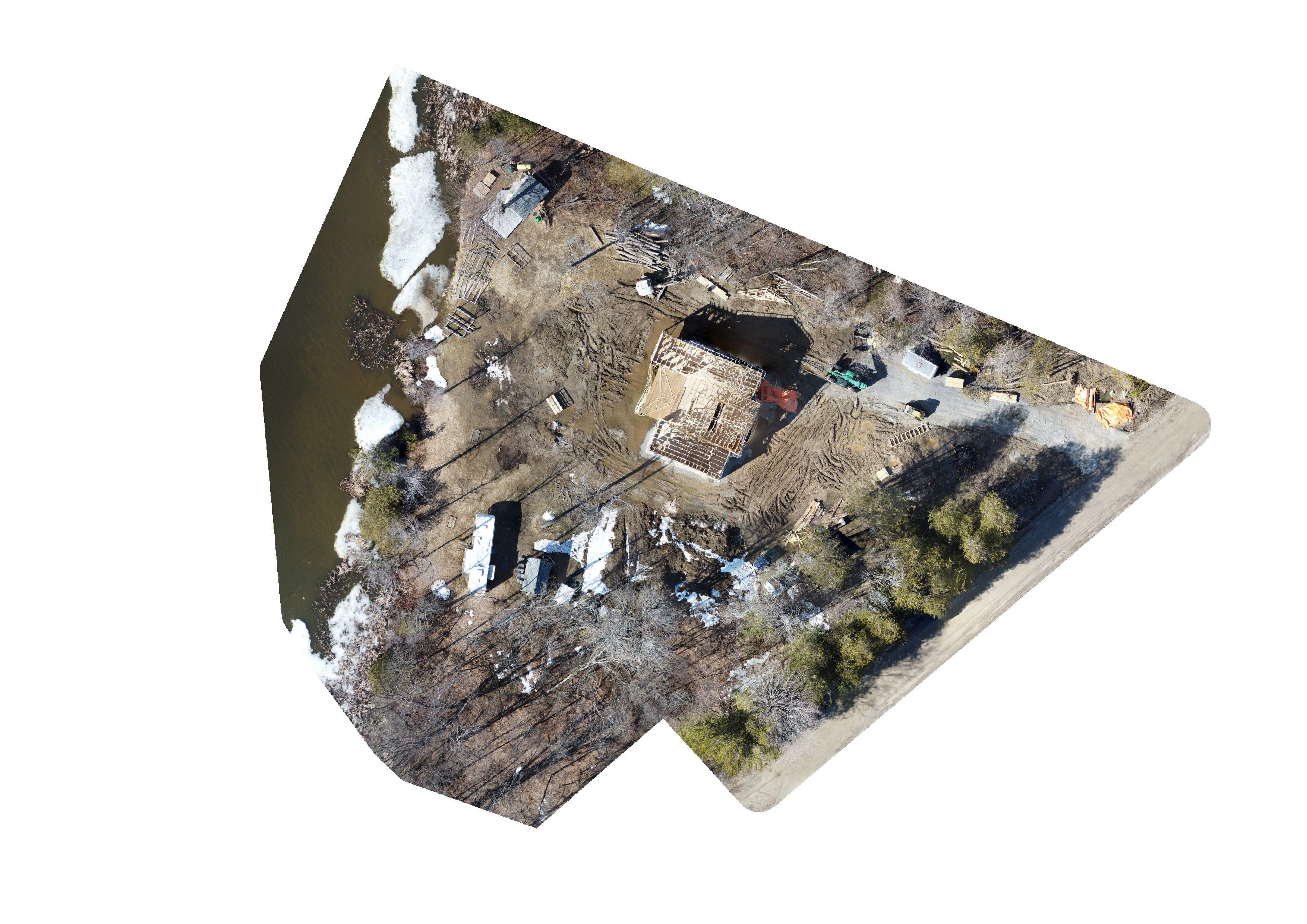
This map can be used to reference the site location and show an overview of the 2D orthomosaic model.
Imagery
In the interactive section to the right you can interact with the orthomosaic image, panning and zooming to inspect it as you wish. T
3D Model
Explore the property in 3D! Go full screen, zoom in, and check out the details of the flight area.


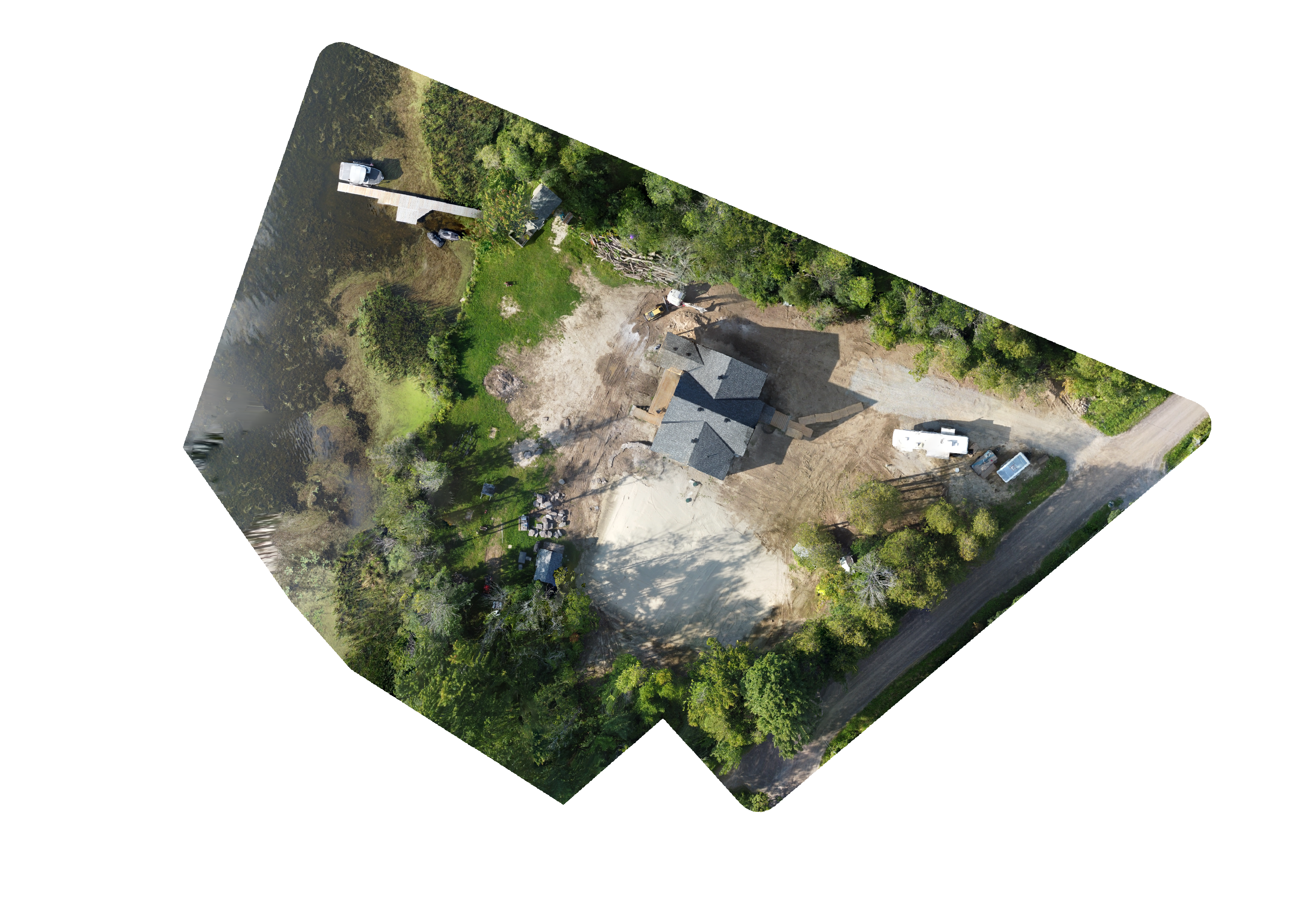
Map comparison
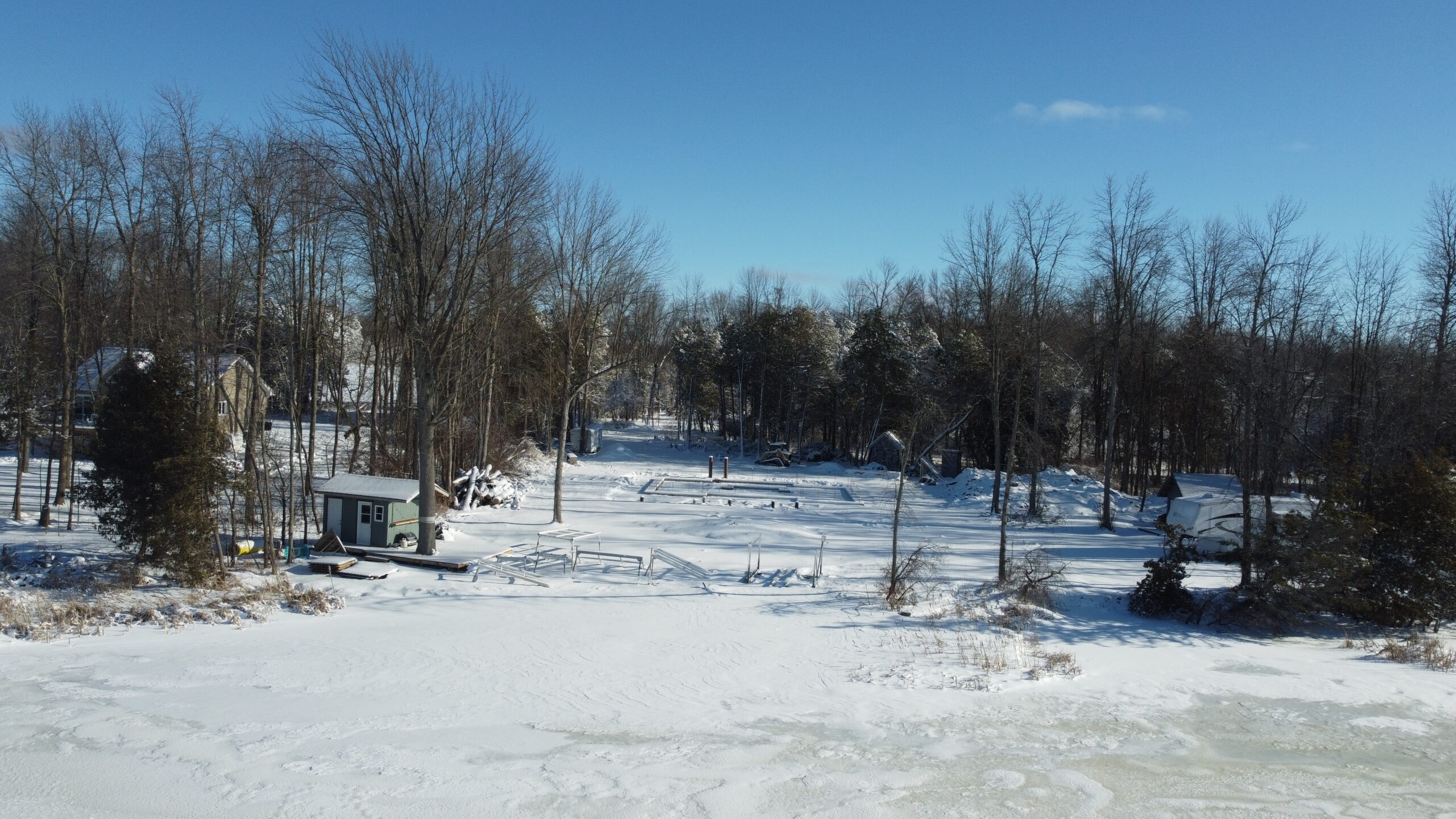
This image comparison shows the two orthophotos side by side to allowing you to see the changes that have occurred between the two flights.
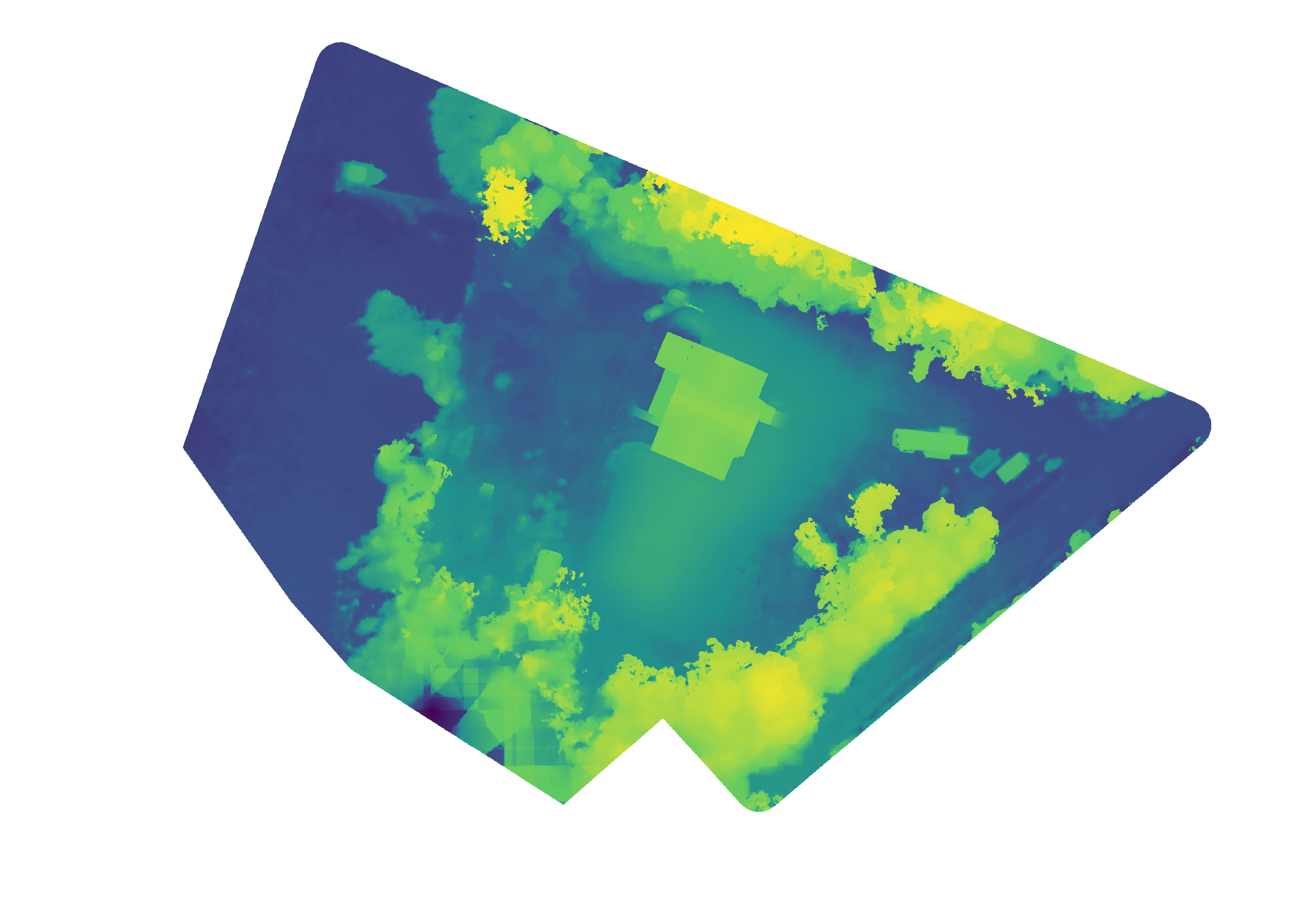
Elevation & Map
Here you can compare the orthophoto map and the elevation derived from the topmost surfaces of structures and the ground.