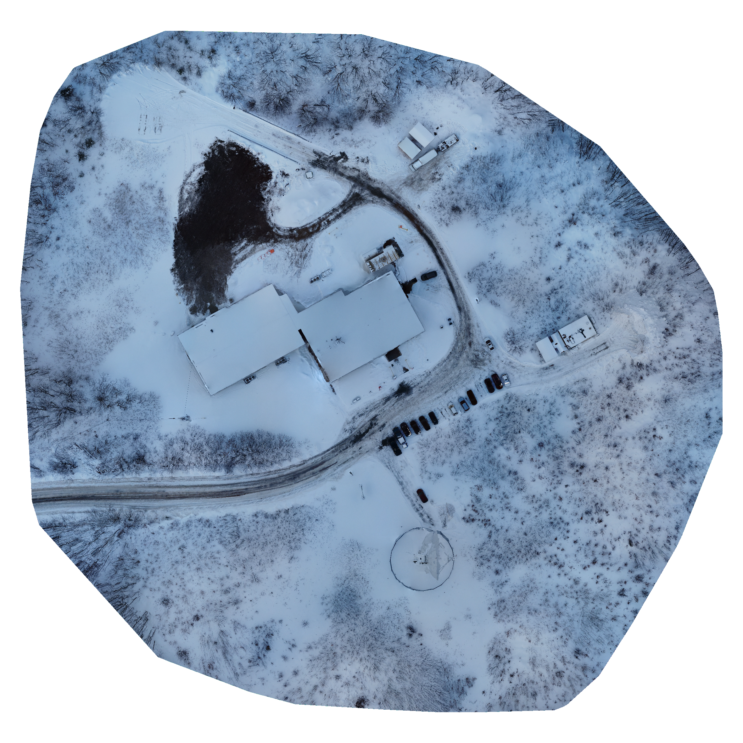
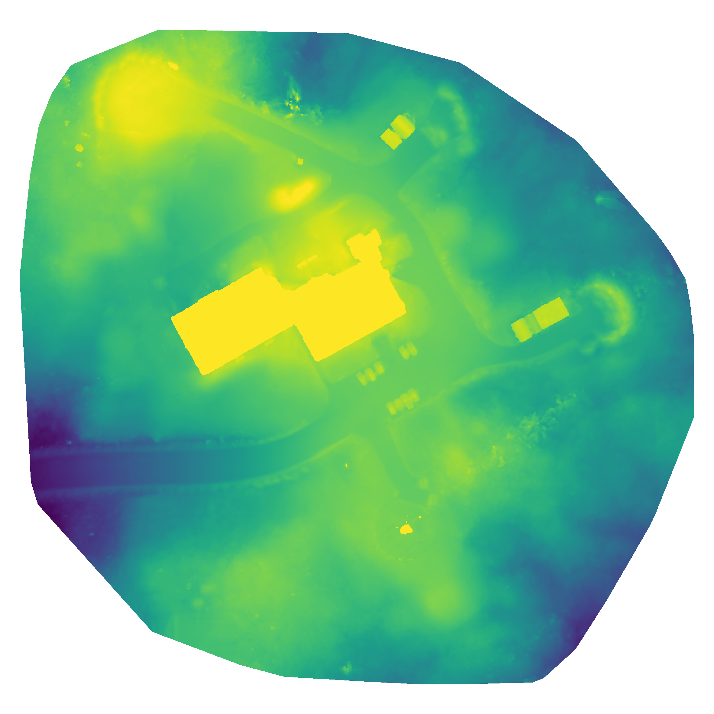
Orthomosiac & Digital Surface Model Comparison
Here we can see two images from the same flight, one being a true-colour composite orthomosiac recreation of the site, and the other is an elevation model to show the differences in elevation throughout the image.
Flight Map
This map can be used to explore and view this days imagery. Please note that the full resolution imagery can be downloaded using the link provided either on this page or in your email notification.


3D View
In this you can explore the imagery in 3D, take screenshots of anything of note.