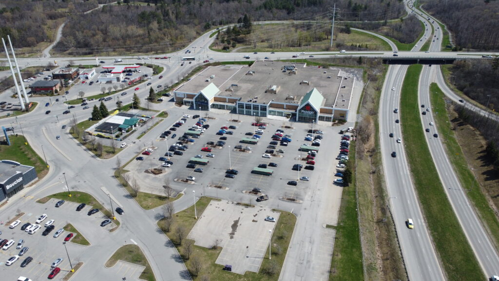
A flyover of a Provigo grocery store, showing all of the road access, parking lot layout including islands and other permanent obstructions, as well as loading bays and service access roads.
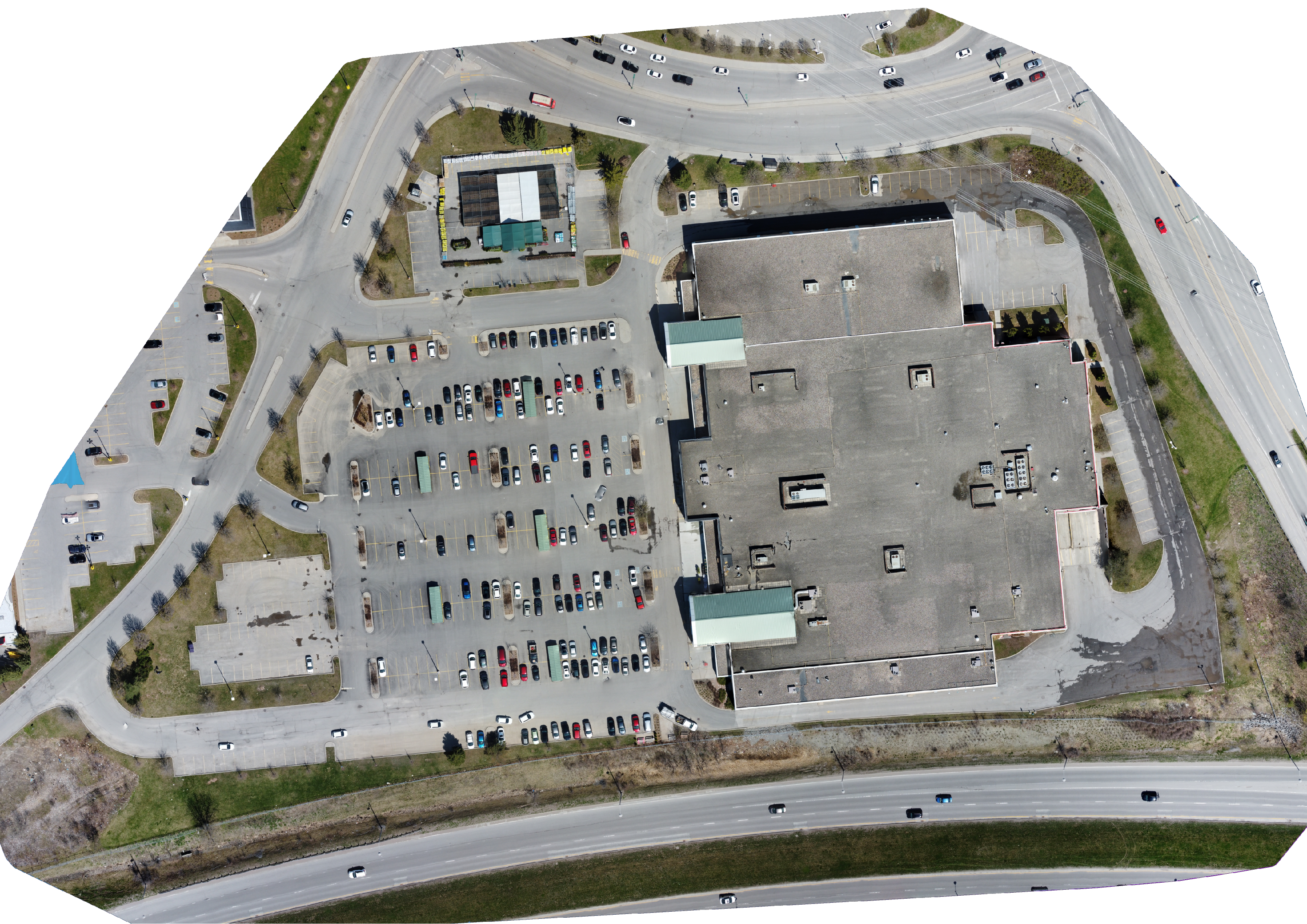
In the interactive sections below you can interact with the orthomosaic image, panning and zooming to inspect it as you wish. The image comparison below shows the orthomosaic side by side to a digital surface model, or elevation model, showing the different elevations throughout the site.
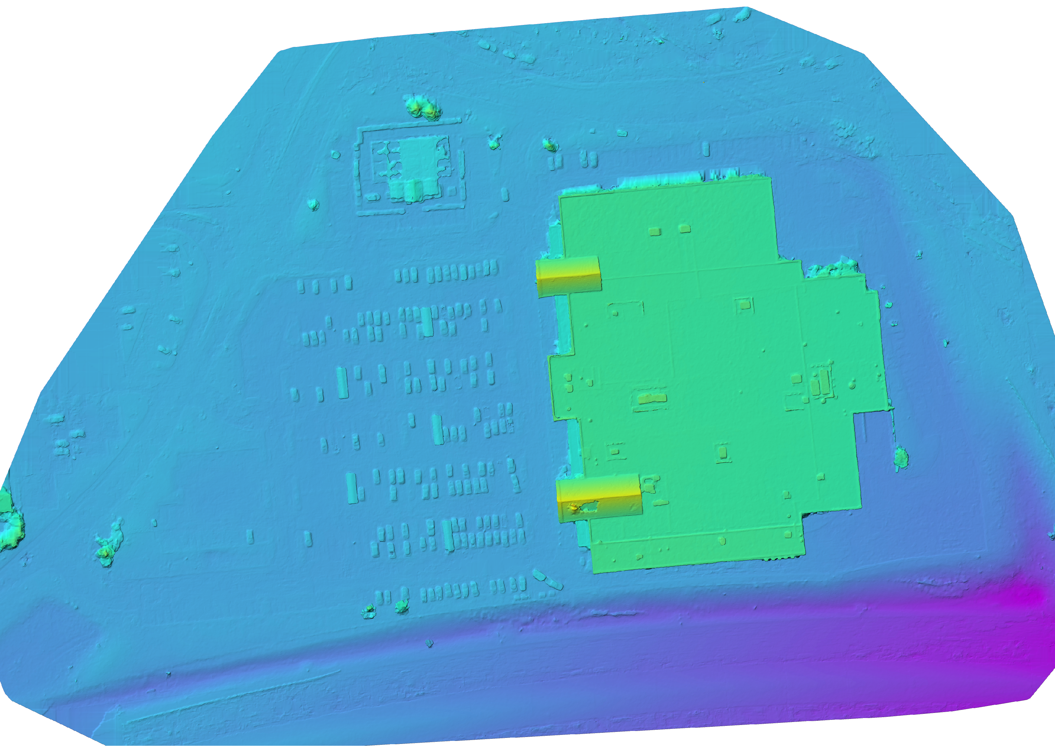
Point Cloud Demo
This video demonstrating a 3D point cloud and imagery overlay extracted from the flight imagery of the Provigo is an example of the rich amount of data that can be created when just doing a simple flight focused on 2D aspects of the property, hence the accurate elevation changes but with the sides of the building missing.