Drone Mapping: Revolutionizing the Way We Capture Data
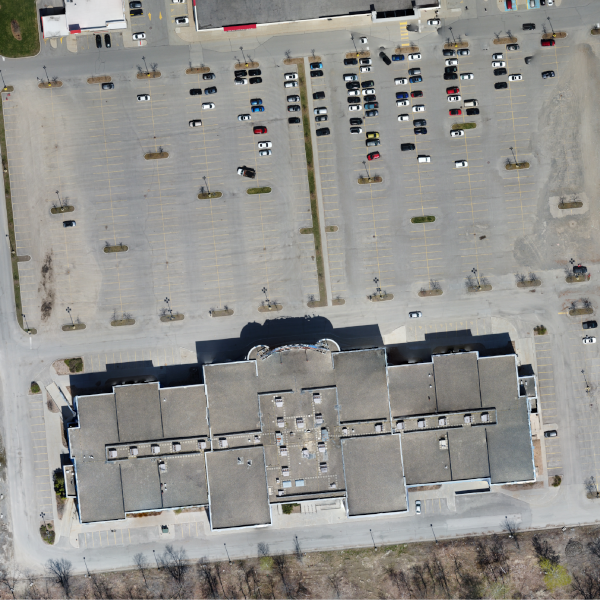
Drone mapping is transforming how we collect and analyze geospatial data. By equipping drones with high-resolution cameras and advanced sensors like LiDAR, drones can create precise, detailed 2D and 3D maps of vast areas quickly and efficiently. Whether it’s for surveying construction sites, monitoring agricultural fields, or mapping infrastructure, drone mapping offers an unparalleled combination of accuracy, speed, and cost-effectiveness. It eliminates the need for traditional ground-based surveying methods, reducing labor costs and safety risks, while delivering real-time, high-quality data that supports smarter decision-making and project management.
Send us a message!
Don’t hesitate to reach out with the contact information below, or send a message using the form